

Why Wetland Delineation?
Wetland delineation in Florida identifies protected wetland boundaries on a property. Wetlands protect water quality, reduce flooding, and support wildlife, but they can also affect how land is purchased, developed, or used.
Wetlands play an important role in protecting water quality, reducing flooding, and supporting wildlife. However, they can also affect how land is purchased, developed, or used.
If you are planning construction or property development, a wetland delineation can help identify protected wetland areas before work begins.
This process determines where wetlands end and upland areas begin. It helps property owners understand potential environmental restrictions and avoid unexpected development delays.
This guide explains how wetland delineation works, what a survey includes, and what affects wetland delineation cost in Florida.
Who Should Read This Guide?
This guide is useful for:
- Commercial property developers
- Real estate investors
- Construction companies
- Landowners
- Environmental consultants
- Engineering firms
- Property buyers
- Infrastructure developers
If your property contains low-lying land, standing water, or wetland vegetation, a professional evaluation may be necessary before development.
What Is Wetland Delineation?
Wetland delineation is the process of identifying and marking the boundaries between wetlands and surrounding upland areas.
Wetlands are areas where water influences soil conditions and plant growth.
A property does not need to be permanently flooded to qualify as a wetland. Some wetlands may appear dry during certain parts of the year.
Environmental professionals generally evaluate three important indicators:
- Vegetation: Plants commonly found in wet conditions.
- Soils: Soil characteristics associated with prolonged saturation
- Hydrology: Evidence of regular flooding, saturation, or seasonal water movement.
These indicators help professionals determine wetland boundaries using applicable state or federal methods.
Why Is Wetland Delineation Important in Florida?
Wetlands in Florida include marshes, swamps, mangrove forests, and other water-dependent ecosystems.
They provide several environmental benefits, including:
- Improving water quality
- Reducing flood impacts
- Supporting wildlife habitats
- Storing and filtering stormwater
- Protecting coastal areas
Florida also has regulations designed to protect wetlands and surface waters.
Under Chapter 62-340 of the Florida Administrative Code, the state uses a unified wetland delineation methodology.
This methodology helps identify wetland boundaries consistently across the state.
Property owners planning construction, grading, filling, or other land-disturbing activities should understand whether wetlands are present before starting work.
What Is a Wetland Delineation Survey?
A wetland delineation survey involves evaluating site conditions to identify wetland boundaries.
The process generally includes several steps.
1. Initial Property Review
The consultant reviews available information about the property.
This may include aerial photographs, soil maps, topographic information, and existing wetland maps.
2. Field Inspection
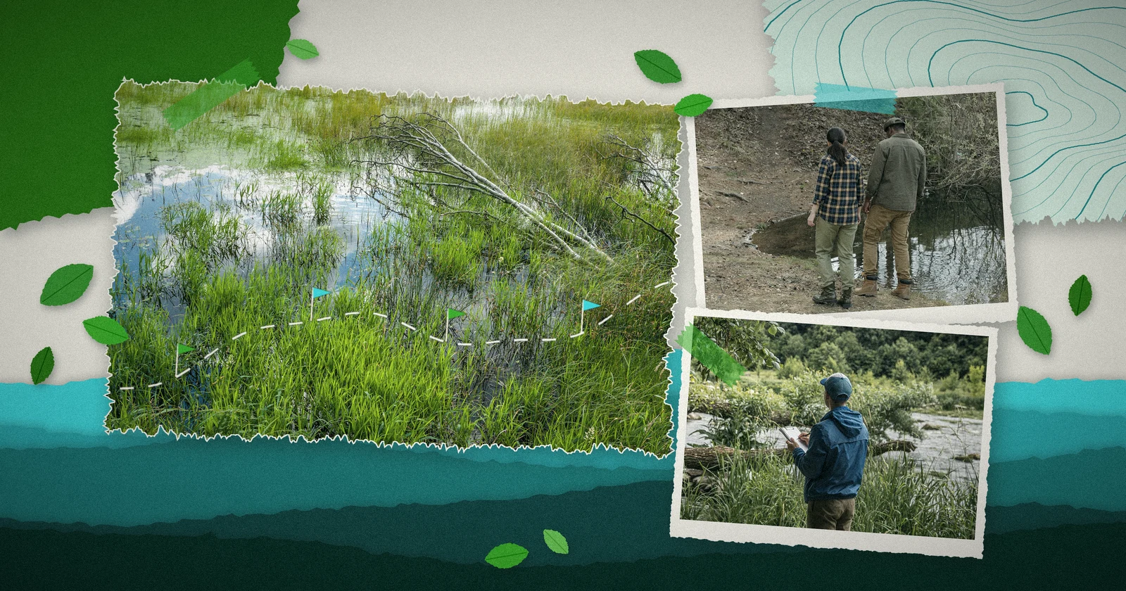
A qualified professional visits the property to examine vegetation, soil characteristics, and hydrological conditions.
3. Boundary Identification
The consultant identifies the boundary between wetland and upland areas.
These boundaries may be marked using flags or other field markers.
4. Mapping
The identified boundaries are documented on a map.
A separate survey by a licensed land surveyor may be needed when precise boundary locations are required for engineering or permitting.
5. Report Preparation
The findings are compiled into a wetland delineation report for the property owner or project team.
What Does a Wetland Delineation Report Include?
A wetland delineation report documents the methods and findings of the site evaluation.
A typical report may include:
- Property location and description
- Site conditions
- Wetland vegetation observations
- Soil characteristics
- Hydrology indicators
- Wetland boundary maps
- Field photographs
- Assessment methods
- Conclusions and recommendations
The report can help property owners understand potential development limitations.
However, a consultant’s report does not automatically establish a legally binding regulatory boundary. Formal agency verification or determination may be needed.
What Is Wetland Delineation Certification?
Wetland delineation certification can refer to professional training or credentials related to wetland identification.
One recognized credential is the Professional Wetland Scientist (PWS) certification offered through the Society of Wetland Scientists Professional Certification Program.
This voluntary certification recognizes professionals who meet specified education and experience requirements.
Florida also provides training on its wetland delineation methodology.
When selecting a consultant, consider their field experience, technical qualifications, knowledge of Florida regulations, and familiarity with the applicable delineation methods.
Professional certification can be useful, but it should not replace an evaluation of the consultant’s relevant experience.
How Much Does Wetland Delineation Cost?
The wetland delineation cost depends on the property’s size, location, accessibility, and environmental conditions.
For smaller properties, consultant fees may range from several hundred to several thousand dollars. More complex sites can cost significantly more.
The final price depends on the work required.
Property Size
Larger properties may require more fieldwork and mapping.
Site Accessibility
Dense vegetation, standing water, and difficult terrain can increase the time needed for field inspections.
Wetland Complexity
Properties with multiple wetland areas or unclear boundaries may require additional investigation.
Reporting Requirements
A basic wetland screening may cost less than a complete delineation report prepared for regulatory review.
Surveying and Permitting
Professional land surveying, agency determination fees, and permit application support may involve additional costs.
To receive an accurate estimate, property owners should request a site-specific quote from experienced wetland delineation consultants.
When Are Wetland Delineation Services Needed?
Professional wetland delineation services may be needed before:
- Commercial construction
- Residential development
- Road construction
- Utility installation
- Land clearing
- Site grading
- Property redevelopment
- Projects involving potential wetland impacts
Early evaluation can help determine whether development plans may affect regulated wetlands.
It can also help identify areas where construction may proceed with fewer environmental concerns.
Wetland Regulations and Permits in Florida
Wetland development in Florida may involve both state and federal regulations.
The Florida Department of Environmental Protection (FDEP) and the state’s water management districts administer Environmental Resource Permitting (ERP) requirements.
At the federal level, the U.S. Army Corps of Engineers administers Section 404 permitting under the Clean Water Act for regulated discharges of dredged or fill material into waters of the United States.
In February 2024, a federal court vacated Florida’s assumption of Section 404 permitting authority, and in March 2026 the U.S. Court of Appeals for the D.C. Circuit upheld that decision.
As of late 2026, the U.S. Army Corps of Engineers handles federal Section 404 wetland permits in Florida.
Many projects therefore need two approvals: a state Environmental Resource Permit (ERP) from FDEP or the local water management district, and a federal permit from the Army Corps. Because this case is still developing, confirm current permitting requirements before starting work.
Not every wetland is necessarily subject to the same federal jurisdiction, and state protections may apply even where federal jurisdiction does not.
A qualified consultant can help identify which requirements apply to a particular project.
How to Choose Wetland Delineation Consultants
Choosing experienced wetland delineation consultants can help property owners obtain useful site information and plan development more effectively.
Before hiring a consultant, consider:
- Experience with Florida wetlands
- Knowledge of state and federal regulations
- Familiarity with wetland vegetation and soils
- Experience preparing delineation reports
- Field survey capabilities
- Regulatory coordination experience
- Clear project pricing
A consultant should explain the proposed scope, expected deliverables, and whether additional surveying or agency verification may be necessary.
How SKA Environment Can Help
Wetland concerns can affect property purchases, construction schedules, and development plans.
SKA Environment helps commercial and industrial clients evaluate environmental risks and understand potential compliance requirements.
Environmental consulting support can help property owners identify when wetland evaluations, specialized surveys, or regulatory coordination may be necessary.
Early planning allows developers to consider environmental restrictions before finalizing site layouts or beginning construction.
Planning a property development project? Contact SKA Environment to discuss your environmental due diligence needs and determine the appropriate next steps for wetland evaluation.
Frequently Asked Questions
Wetland delineation is the process of identifying the boundaries between wetlands and upland areas using vegetation, soil, and hydrology indicators.
Wetland delineation cost varies based on property size, site conditions, accessibility, and reporting requirements. Smaller projects may cost several hundred to several thousand dollars, while larger or more complex sites may cost more.
Wetland delineation may be necessary when proposed development could affect regulated wetlands. The requirements depend on the property, planned activities, and applicable regulations.
A wetland delineation survey generally includes property research, field inspections, vegetation and soil evaluations, boundary identification, and mapping.
Wetland delineation certification may refer to professional credentials or training. The Professional Wetland Scientist certification is one recognized voluntary credential.
The timeline depends on property size, accessibility, weather, and project complexity. Small site evaluations may require limited fieldwork, while larger projects and agency reviews can take considerably longer.
Development may be possible, but activities affecting regulated wetlands can require permits or other approvals. The project design, wetland impacts, and applicable regulations determine the available options.